Shore to Shore: West Coast

I’m traveling from the southernmost tip of the western seaboard at San Diego, California, to the northernmost point, Cape Flattery, Washington. I’ll be documenting the journey in a book of photojournalism – Shore to Shore: West Coast. I’ll be posting updates here along the way and will offer vignettes from the book here. So join me on my journey and be among the first to buy the book. Have a look at some images below.

Sunset in Los Angeles


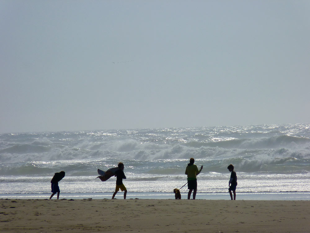
Family on the Beach, Florence, Oregon


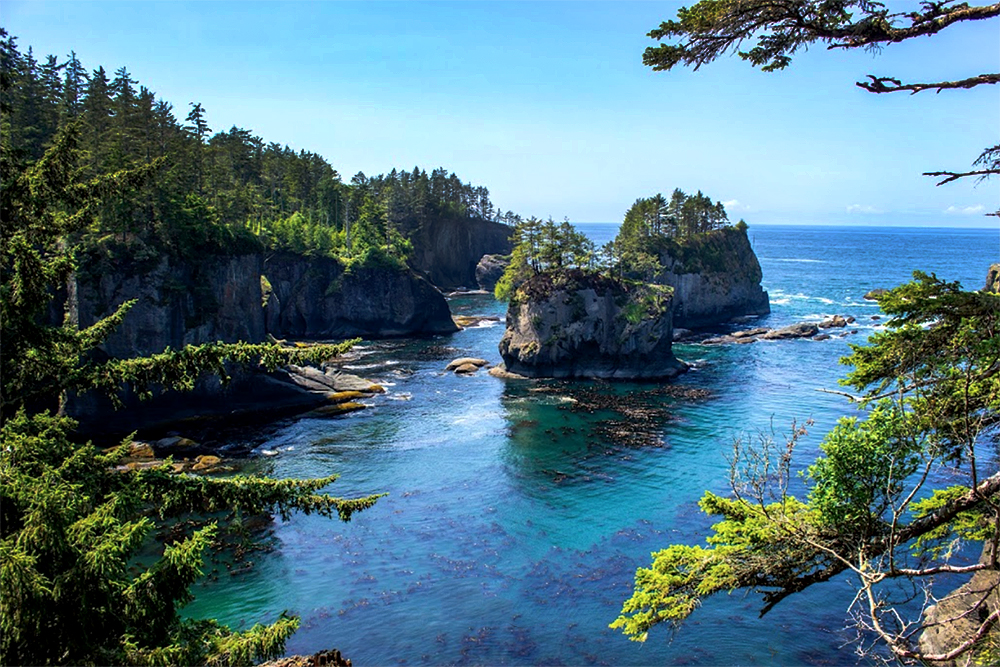
Cape Flattery, Washington, the northwesternmost point of the contiguous United States.

From Wikipedia: “Cape Flattery is the northwesternmost point of the contiguous United States. It is in Clallam County, Washington on the Olympic Peninsula, where the Strait of Juan de Fuca joins the Pacific Ocean. It is also northern boundary of the Olympic Coast National Marine Sanctuary. The westernmost point in the contiguous United States is at Cape Alava, south of Cape Flattery in Olympic National Park. However, the westernmost tip of Cape Flattery is almost exactly as far west as Cape Alava, the difference being approximately 5 seconds of longitude, about 360 feet at high tide and somewhat more at low tide.”